
Roseland Local Landscape Character Assessment
A Local Landscape Character Assessment of the Roseland has been the subject of considerable effort over the last several months. A tireless group of committed volunteers has helped experts produce this valuable resource. The files can be downloaded below.
The Report:
The Report:
| llca_-_01.12.2014.pdf |
The Appendices:
Appendix 1 - Glossary of Terms and Abbreviations
| appendix_1_-_glossary_of_terms_and_abbreviations.pdf |
Appendix 2 - Landscape Character Type Maps for Each Parish
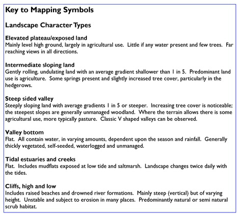
|
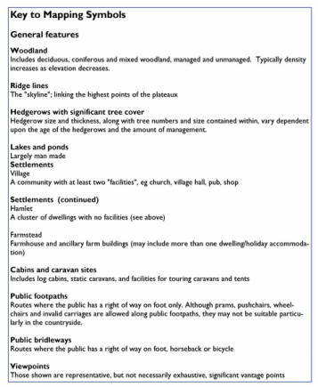
|
| appendix_2.1_philleigh_parish.pdf |
| appendix_2.2_gerrans_parish.pdf |
| appendix_2.3_ruanlanihorne_parish.pdf |
| appendix_2.4_st_just_in_roseland_parish.pdf |
| appendix_2.5_veryan_parish.pdf |
Appendix 3 - Roseland Local Landscape Character Assessment Tables for Each Parish
| appendix_3.1_-_philleigh_character_table_-_29.11.2014.pdf |
| appendix_3.2_-_gerrans_character_table_-_29.11.2014.pdf |
| appendix_3.3_ruan_lanihorne_character_table_-_29.11.2014.pdf |
| appendix_3.4_st_just_character_table_-_29.11.2014.pdf |
| appendix_3.5_veryan_character_table_-_29.11.2014.pdf |
Appendix 4 - Roseland Local Landscape Character Assessment Tables for Each Landscape Type
4.1 Elevated Plateau
4.1 Elevated Plateau
| appendix_4.1_-_elevated_upland_plateau_exposed__land_table_-_29.11.2014.pdf |
|
|
4.2 Intermediate Sloping Land
| appendix_4.2_-_intermediate_sloping_land_table_-_29.11.2014.pdf |
|
|
4.3 Steep Sided valley
| appendix_4.3_-_steep_sided_valley_table_-_29.11.2014.pdf |

|
|
4.4 Valley Bottom
| appendix_4.4_-_valley_bottom_table_-_29.11.2014.pdf |

|

|
4.5 Estuary and Tidal Creek
| appendix_4.5_-_tidal_estuaries_and_creeks_table_-_29.11.2014.pdf |
|
|
4.6 Cliffs
| appendix_4.6_-_cliffs_table_-_29.11.2014.pdf |

|

|
Appendix 5 - Environmental Mapping
5.1 Philleigh
5.1 Philleigh
| philleigh_biodiversity_designations_a3.pdf |
| philleigh_heritage_designations_a3.pdf |
| philleigh_historic_character_a3.pdf |
| philleigh_landscape_character_a3.pdf |
| philleigh_landscape_scale_designations_a3.pdf |
| philleigh_rights_of_way_a3.pdf |
| philleigh_trees_and_woodlands_a3.pdf |
5.2 Gerrans
| gerrans_biodiversity_designations_a3.pdf |
| gerrans_heritage_designations_a3.pdf |
| gerrans_historic_character_a3.pdf |
| gerrans_landscape_character_a3.pdf |
| gerrans_landscape_scale_designations_a3.pdf |
| gerrans_rights_of_way_a3.pdf |
| gerrans_trees_and_woodlands_a3.pdf |
5.3 Ruan Lanihorne
| ruan_lanihorne_biodiversity_designations_a3.pdf |
| ruan_lanihorne_heritage_designations_a3.pdf |
| ruan_lanihorne_historic_character_a3.pdf |
| ruan_lanihorne_landscape_character_a3.pdf |
| ruan_lanihorne_landscape_scale_designations_a3.pdf |
| ruan_lanihorne_rights_of_way_a3.pdf |
| ruan_lanihorne_trees_and_woodlands_a3.pdf |
5.4 St Just-in-Roseland
| st_just_in_roseland_biodiversity_designations_a3.pdf |
| st_just_in_roseland_heritage_designations_a3.pdf |
| st_just_in_roseland_historic_character_a3.pdf |
| st_just_in_roseland_landscape_character_a3.pdf |
| st_just_in_roseland_landscape_scale_designations_a3.pdf |
| st_just_in_roseland_rights_of_way_a3.pdf |
| st_just_in_roseland_trees_and_woodlands_a3.pdf |
5.5 Veryan
| veryan_biodiversity_designations_a3.pdf |
| veryan_heritage_designations_a3.pdf |
| veryan_historic_character_a3.pdf |
| veryan_landscape_character_a3.pdf |
| veryan_landscape_scale_designations_a3.pdf |
| veryan_rights_of_way_a3.pdf |
| veryan_trees_and_woodlands_a3.pdf |
6. Appendix 6 - Valued landscapes within the Roseland
| appendix_6_-_roseland_valued_landscapes_a3.pdf |
7. Results of Public Consultation Event (14th June 2014)
7.1 Responses to the Questionnaire
7.1 Responses to the Questionnaire
| appendix_7.1_-_response_to_questionnaire.doc |
7.2 Postcard Responses
| appendix_7.2_-_postcard_responses.doc |
8. Assessing Landscape Character: A Development Management Toolkit
| assessing_landscape_character_a_development_management_toolkit_-_revised_draft_v6_-_september_2014.pdf |
9. Photographs of Landscape Type by Parish
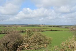
9.1 Philleigh
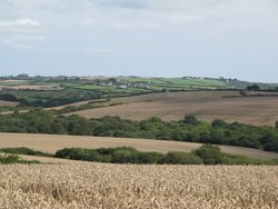
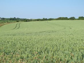
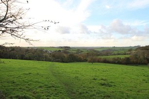
Elevated Plateau
9.1 Philleigh
Elevated Plateau

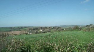
Looking South from Penhallow Farm
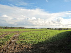
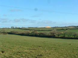
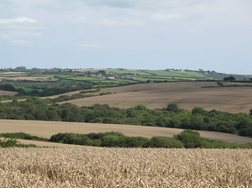
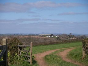
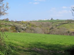
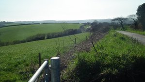
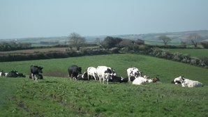
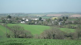
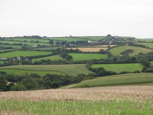
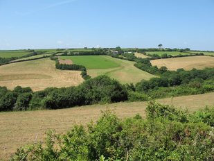
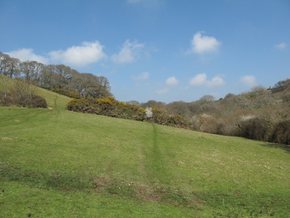
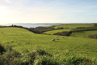
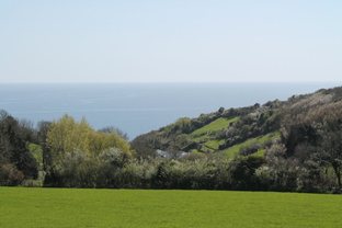
Intermediate Sloping Land
North towards Philleigh
|
At Tolverne Barton
Northeast towards Philleigh from Trelissa
|
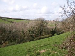
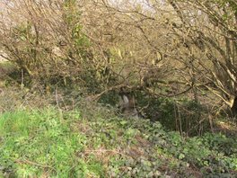
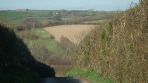
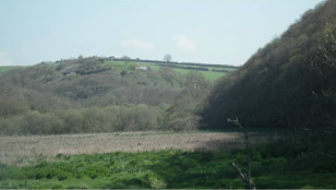
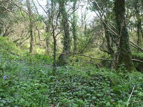
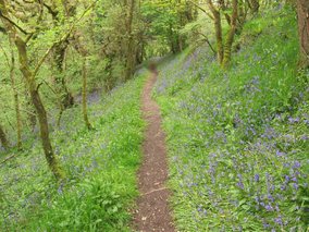
Steep Sided Valley

Looking northeast up Melinsey Valley from cliff above the 'pink hotel'
|
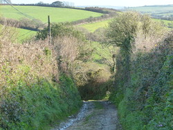
On byway south of Trelissa
|
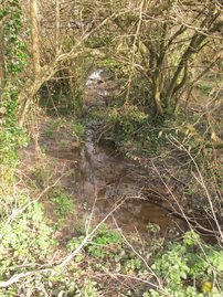
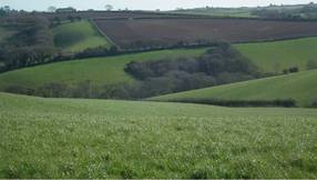
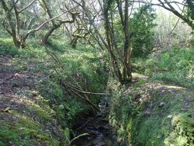
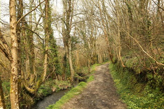
Valley Bottom
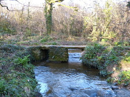
Trethem Stream
|
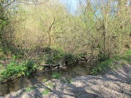
Trethem Stream
|
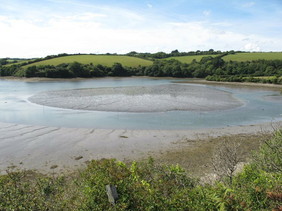
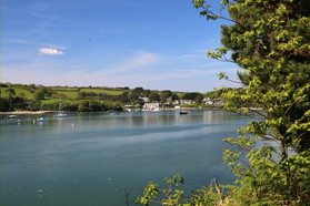
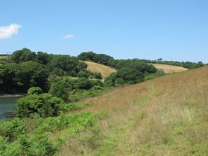
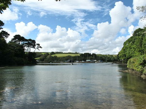
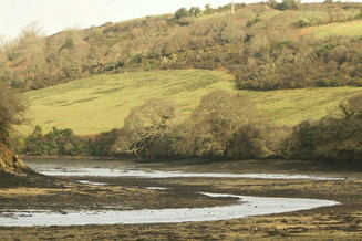
Estuary and Tidal Creek
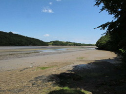
Fal north of Philleigh
|
Fal at Smugglers
|
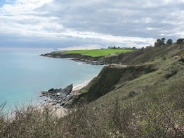
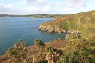
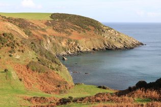
Cliffs
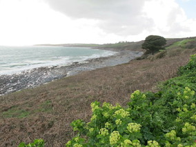
Western end of Pendower Beach
|
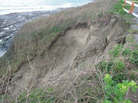
Erosion below the car park at the western end of Pendower Beach
|
9.2 Gerrans
Elevated Plateau
Elevated Plateau
South from Treloan
|
Above Bohortha towards Trewince
|
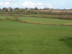
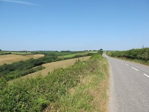
Intermediate Sloping Land
West of Treluggan
|
Behind Cellars Beach
|
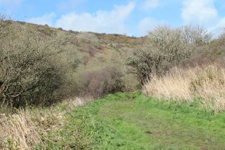
Steep Sided Valley

South of Porth Farm
|
East towards Gerrans from Lanhay
|
Valley Bottom
Trethem Stream north of Treluggan
|
Trethem Stream north of Treluggan
|
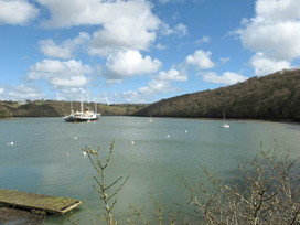
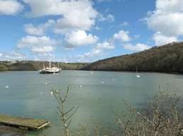
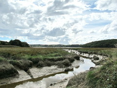
Estuary and Tidal Creek

Polingey Creek
|
Percuil Creek
|
Cliffs
Looking south from above Porthbean Beach
|
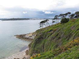
Great Molunan
|
9.3 Ruan Lanihorne
Elevated Plateau
Elevated Plateau
Towards Ruan Lanihorne /Philleigh from Tregony Road
|
Demain Farm above Fal Valley
|
Intermediate Sloping Land
Towards Trelonk
|
Towards Treworga from Ruan Highlanes
|
Steep Sided Valley
From Trelonk down to Ruan Lanihorne
|
Eastwards from Demain, Ruan
|
Valley Bottom
River Fal marsh above Sett Bridge
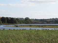
Estuary and Tidal Creek
Tidal Creek at Ruan
|
Tidal Creek at Ruan
|
9.4 St Just-in-Roseland
Elevated Plateau
Elevated Plateau
Ridge above Trethem
|
Towards Carvinack above Trethem
|
Intermediate Sloping Land
Looking south from Carvinack towards St Just
|
Looking west towards Messack Farm
|
Steep Sided Valley
North west from head of St Just Creek
|
North east from head of St Just Creek
|
Valley Bottom
In Camerance woods, Turnaware
|
Messack
|
Estuary and Tidal Creek
St Just Creek, towards the Bar
|
Looking northward up St Just Creek
|
9.5 Veryan
Elevated Plateau
Elevated Plateau
Looking southwest from the top of Nare Head
|

North from Carne Beacon
|
Intermediate Sloping Land
West towards Veryan
|
Grid reference 9158 4153
|
Steep Sided Valley
In Melinsey Valley
|
Valley into Portloe from the west
|
Valley Bottom
Looking north into Melinsey Valley from behind the car park
|
Looking north up Melinsey Valley
|
Cliffs
From Nare Head northwest towards Carne
|
At Kiberick Cove
|